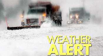
 11/26/13 The National Weather Service has issued a Lake Effect Snow Watch which goes into effect later tonight and runs thru Wednesday evening.
Marshall County is currently under a Lake Effect Snow Watch. Lake Effect snow is expected to develop this evening and intensify significantly late tonight into Wednesday. Snow accumulations of between 4-8 inches within the heaviest bands is possible, with snowfall rates of 1 to 2 inches per hour. Locally higher amounts will be possible across Western St. Joseph County, Northwest Marshall and Starke counties. In addition, Northwest winds of 15-25 mph will lead to areas of blowing and drifting snow and reduced visibility.
Most winter weather related deaths are a result of auto accidents on slippery roads, so drive with more caution when roads are bad. Clear your windows, headlights and tail lights of snow and ice. Give yourself plenty of extra travel time to reach your destination. S-L-O-W down and adjust your following distance for the road conditions. Bridges and overpasses become slick and icy before roads do.
Marshall County uses a Travel Advisory system that mirrors the Indiana Department of Homeland Security’s. The system is designed to protect the public by providing them with a standardized format that they can use as a reference to make informed decisions that could impact their safety when traveling on county roads during certain conditions. The decision to issue a travel advisory is made by the Marshall County Commissioners based on information provided to them by the Marshall County Highway Department, Marshall County Sheriff’s Department, and the Marshall County Emergency Management Agency as to the road conditions in the unincorporated areas of the county.
The best way to stay safe during winter is to be prepared. Use common sense and caution. Listen to NOAA Weather Radio or commercial radio or television for the latest information regarding weather conditions. Take action when the National Weather Service issues a watch, warning or advisory.
For full details, view this message on the web.


