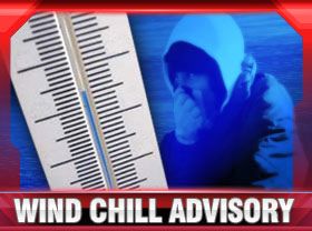
 A Wind Chill Advisory goes into effect at 4 pm this afternoon and continues until noon on Thursday. Dangerous wind chills are expected by later today through Friday morning. Generally ranging between 10 below and 25 below zero.
Additionally, periods of lake effect snow are expected across far north-central Indiana and Southwest lower Michigan. As always with lake effect snow events, exact totals will vary significantly depending on where the heavier snowbands set up. Wind gusts of 20 to 30 mph will create blowing snow and reduced visibility.
Wind chills this low can cause frostbite in as little as 30 minutes. Keep safe by limiting your exposure. Make trips outside as brief as possible. Wear several layers of clothing, and cover any exposed skin with hat, scar, and gloves. If travel is necessary, make sure you have an emergency kit in your vehicle that includes, blankets, non-perishable food, a container to melt snow for drinking, flashlight, jumper cables, cell phone charger and other items that may be beneficial should you get stuck.
Remember to check on elderly family members, friends and neighbors who might be at risk and additional assistance.
Pet owners should be especially sensitive to the needs of their animals during these types of temperatures. if at all possible, bring pets indoors or make sure they have adequate shelter, warm bedding and fresh water.
Don’t forget that water pipes located on exterior walls or under craw spaces can freeze and burst. Open a faucet up just slightly to keep a trickle of water flowing.