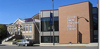
 The ways maps can be viewed, both as documents and as mirrors of their times, are explored in one of the Indiana Historical Society’s (IHS’s) traveling exhibits, Indiana Through the Mapmaker’s Eye. Culver-Union Township Public Library will host the exhibit in the lower level of the library, located at 107 N. Main St., Culver, Indiana from June 6 through July 11.
The exhibit is drawn from IHS’s collection of about 1,700 maps and atlases of Indiana and the Midwest dating from the 16th century to the present. It examines four ways people have used maps through the years: as documentation, as tools, as political images and as art.
Some of the maps displayed in the exhibition include an 1833 tourist’s Indiana pocket map; a 1913 Sanborn Company fire insurance map for Bloomington; Thomas Kitchin’s 1747 map of French settlements in North America; an 1881 bird’s-eye view of Mount Vernon, Ind.; and a circa 1880 scale-model map of the University of Notre Dame.
For more information about this exhibit, call (574) 842-2941 or email jwinrotte@culver.lib.in.us.