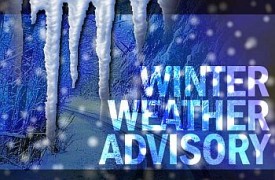
 The National Weather Service in North Webster has included Marshall County in a Winter Weather Advisory which goes into effect at 4 pm this afternoon and continues until 10 am on Friday.
We are currently under an “Advisory” Level travel advisory.
THREAT: A mix of rain and snow will develop this afternoon, changing to a burst of snow. Temperatures will drop creating a Flash Freeze on roads. As the snow begins, snow accumulations of up to 3 inches are possible. Winds gusting as high as 40 mph will cause BLOWING and drifting issues across roads. The Friday morning commute will be extremely hazardous in some locations. Bitterly cold temperatures with sub-zero wind chills are expected beginning on Saturday and continuing for the next seven days.
IMPACTS: Blowing snow will reduce visibility and could lead to an increase in slide-offs and accidents. Blowing and drifting snow may make some roads impassable.
PREPAREDNESS ACTIONS: Avoid travelling unless it is absolutely necessary. Plan on slick and hazardous road conditions and avoid driving down roads that have drifts across them. Extremely cold temperatures, such as those that are forecast, are dangerous to people, animals, and property. If you must be outside during extremely cold temperatures, dress appropriately for the conditions. Cover as much skin as possible to minimize exposure, and take frequent breaks indoors to warm up.